Short Answer
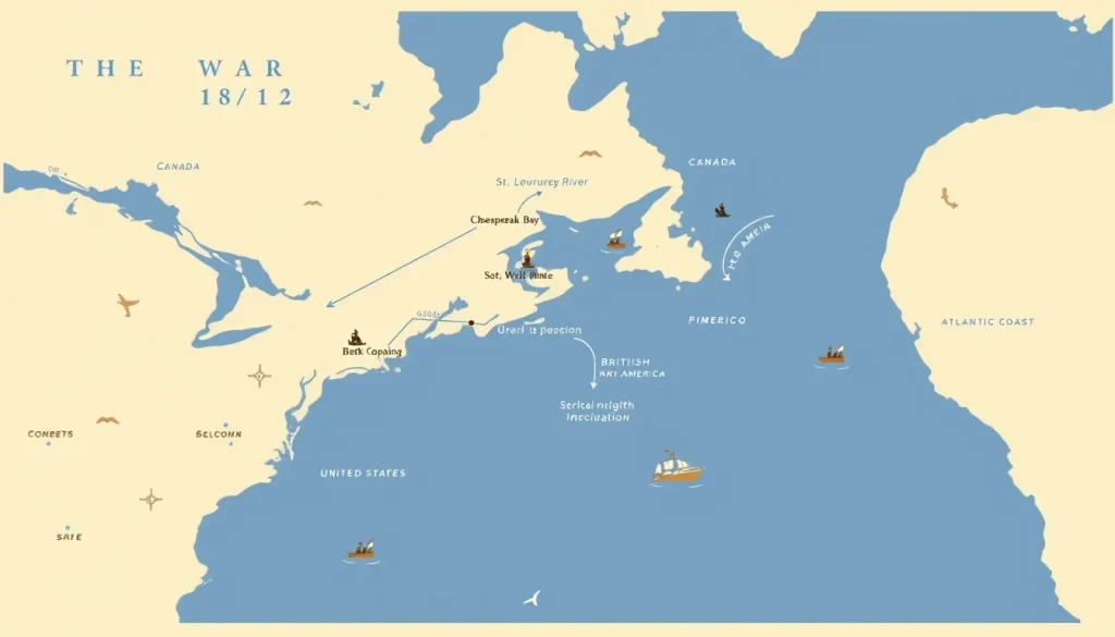
The War of 1812 (1812–1815) was fought over a vast geographic area spanning the United States, British North America (now Canada), and the open Atlantic Ocean. The conflict’s military actions occurred in several distinct theaters, including the Old Northwest, the Niagara frontier, the St. Lawrence River valley, the Lake Champlain corridor, the Chesapeake Bay, coastal Maine, the Gulf Coast, and the high seas. Understanding where the war was fought is essential to grasping its strategies, outcomes, and lasting impact on North America.
Historical Context
The War of 1812 emerged from long-simmering tensions between the United States and Great Britain, largely rooted in the Napoleonic Wars. The British Royal Navy, seeking to cut off French trade, enforced blockades and impressed American sailors into service, while also supporting Indigenous nations resisting American westward expansion. In response, the United States declared war on June 18, 1812, with many leaders, particularly the “War Hawks” from the south and west, advocating for the annexation of British North America—then a collection of British colonies known as Upper and Lower Canada (present-day Ontario and Quebec). The geography of North America dictated military planning: the Great Lakes and the St. Lawrence River formed natural invasion routes, while the Atlantic seaboard was exposed to naval raids. The United States also faced the challenge of a vast frontier, with British alliances with Indigenous peoples adding a volatile dimension to the conflict.
What Happened
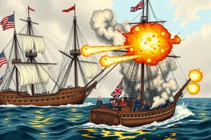
The war unfolded in multiple theaters, each with its own campaigns and turning points. In 1812, American attempts to invade Canada along the Detroit, Niagara, and Lake Champlain corridors all failed. The capture of Fort Mackinac and Fort Detroit by British and Indigenous forces marked early setbacks. On the high seas, American frigates won celebrated single-ship duels, such as the USS Constitution’s victory over HMS Guerriere, while privateers harried British merchant shipping. In 1813, the U.S. gained naval control of Lake Erie after the Battle of Put-in-Bay, leading to the recapture of Detroit and the death of the Shawnee leader Tecumseh at the Battle of the Thames. That year also saw costly battles on the Niagara frontier and the St. Lawrence, including the Burning of York (Toronto). In 1814, British forces went on the offensive, raiding the Chesapeake Bay and burning Washington, D.C., before being repulsed at Baltimore. The Gulf Coast saw a major British invasion met by Andrew Jackson’s forces at the Battle of New Orleans in January 1815—a victory secured after the Treaty of Ghent had already been signed. Meanwhile, Atlantic naval campaigns and blockades continued, with skirmishes off the coast and in the Caribbean.
Why It Matters
The geographic spread of the war shaped its outcomes and legacies. Because fighting was so dispersed, no single decisive battle could end the conflict; the Treaty of Ghent, signed on December 24, 1814, essentially restored the pre-war boundaries. But the war had profound consequences: it secured Canadian territory from American annexation, contributed to a nascent Canadian identity, and devastated many Indigenous nations who had fought for Britain, losing both warriors and land. In the United States, the war reinforced national independence and stimulated domestic manufacturing, while also fostering a sense of unity amid the so-called “Era of Good Feelings.” Historians continue to debate which theater was most crucial, a point addressed below.
Definition
When asking “where was the War of 1812 fought,” the answer refers to the geographic regions where combat, blockade, and raids occurred. These theaters are typically defined as: the Old Northwest (embracing Ohio, Indiana, Illinois, Michigan, and Wisconsin), the Canadian–American borderlands (including the Niagara Peninsula, the St. Lawrence River, and Lake Champlain), the Atlantic coast (from Maine to Georgia), the Chesapeake Bay, the Gulf Coast (from Florida to Louisiana), and the open ocean. Each theater had distinct strategic objectives and participants.
Background
The war’s geography was a product of the pre-existing colonial and national boundaries. The United States, having gained independence in 1783, faced British-held Canada to the north and Spanish Florida to the south. The Appalachian Mountains and the Great Lakes created natural barriers and routes. For Britain, Canada was a base for its naval operations and an ally for Indigenous peoples resisting American expansion. The U.S. government saw invasion of Canada as the most direct way to pressure Britain, while defending its own coastline against British naval superiority. The vast distances and sparse infrastructure meant that control of lakes and rivers—especially Lake Erie, Lake Ontario, and the St. Lawrence—was vital for moving troops and supplies.
How It Worked
The war was fought in three main dimensions: land, lakes, and ocean. On land, armies marched along the Detroit, Niagara, and Lake Champlain corridors, with battles like Queenston Heights, Lundy’s Lane, and Châteauguay. In the Old Northwest, U.S. forces clashed with British regulars, Canadian militia, and Indigenous warriors in engagements such as Fort Meigs and the Thames. The Chesapeake Bay became a theater of British naval raids, with the burning of Washington and the bombardment of Fort McHenry. The Gulf Coast saw the Battle of New Orleans, a major land battle that occurred after peace had been signed. On the high seas, American frigates and privateers attacked British merchant ships, while the Royal Navy enforced a blockade from Halifax to the Caribbean. The Great Lakes functioned as inland seas, where both powers built squadrons, leading to decisive battles like Put-in-Bay on Lake Erie and Plattsburgh on Lake Champlain.
Competing Viewpoints
Historians disagree over which theater was most important. Traditionally, the Canadian border and the Great Lakes were seen as the decisive front, because American invasions there aimed at conquering territory and controlling strategic waterways. However, a comprehensive database compiled by historian Ralph Eshelman, which counts 4,265 military actions—including battles, skirmishes, raids, and privateer captures—reveals that the Atlantic maritime theater (including the Chesapeake) actually saw more actions (3,059, or 71.7 percent) than the Great Lakes–St. Lawrence region. Eshelman argues that the Chesapeake Theater alone had 363 actions compared to 243 for the Great Lakes and 132 for the Old Northwest. Yet historian Donald Hickey contends that “the war could only be won or lost on the Canadian-American border,” because British war aims centered on protecting Canada. This debate reflects differing definitions of what “counts” as a military action and what constitutes strategic significance.
Role in the War of 1812
The geography of the war determined its tempo and outcome. American strategy consistently targeted Canada, but failed to achieve a decisive lodgment due to logistical challenges, militia shortfalls, and effective British–Indigenous resistance. Control of the Great Lakes proved essential: after the U.S. victory on Lake Erie, it regained the Northwest frontier, but on Lake Ontario both sides maintained naval parity, leading to a stalemate. The Atlantic blockade strangled American trade and fostered domestic production, while British raids on the Chesapeake and Gulf exposed coastal vulnerabilities. The war’s far-flung nature meant that no single battlefield could end it, and the Treaty of Ghent’s status quo ante bellum reflected the military deadlock.
Consequences and Historical Interpretation
The geographic spread of the war shapes its memory to this day. In Canada, the war is remembered as a defensive victory against American invasion, celebrated at sites like Queenston Heights and Fort York. In the United States, the burning of Washington and the Battle of New Orleans became emblematic of resilience and victory. Indigenous peoples, who had fought with Britain, lost their land and power, a consequence often overlooked in national narratives. The war also reinforced the Atlantic orientation of American foreign policy and the importance of naval strength. Later historians have moved beyond regional perspectives, emphasizing that the war was truly a continental conflict, with the Atlantic seaboard as a vital theater. The question of “where” thus reveals the war’s complexity and its many layers of meaning.
Primary Sources
Primary sources that illuminate the geographic scope of the war include official correspondence, contemporary maps, and personal narratives. The Treaty of Ghent (1814) itself reflects the territorial status quo, listing American and British possessions. American naval captains’ after-action reports, such as Isaac Hull’s report on the USS Constitution’s engagement with HMS Guerriere, describe the Atlantic theater. On the land side, the journal of Tecumseh’s contemporary John Norton details the Niagara campaigns. For the Chesapeake operations, British officer James Scott’s papers provide insight into the raids. The Canadian Encyclopedia notes that the war’s memory was shaped by local accounts, such as those in the Annual Register. These sources, while often biased by national perspective, offer firsthand evidence of the war’s geographic spread.
Further Reading
- Hickey, Donald R. The War of 1812: A Forgotten Conflict. University of Illinois Press, 1989.
- Benn, Carl. The War of 1812. Osprey Publishing, 2002.
- Eshelman, Ralph E. “Which Theaters of War Experienced the Largest Number of Military Actions during the War of 1812?” Napoleon Series, 2016.
- National Park Service. “War of 1812 Places.” U.S. Department of the Interior.
- American Battlefield Trust. “War of 1812 Facts.” Staging.battlefields.org.
References
- National Park Service, War of 1812 Places, https://www.nps.gov/subjects/warof1812/war-of-1812-places.htm
- American Battlefield Trust, War of 1812 Quick Facts, https://staging.battlefields.org/learn/articles/war-of-1812-faqs
- USS Constitution Museum, War of 1812 Chronology, https://ussconstitutionmuseum.org/major-events/war-of-1812-chronology/
- Canadian Encyclopedia, War of 1812, https://thecanadianencyclopedia.ca/en/article/war-of-1812
- Eshelman, Ralph E., Which Theaters of War Experienced the Largest Number of Military Actions during the War of 1812?, https://www.napoleon-series.org/military-info/Warof1812/2016/Issue26/TheaterofWar.pdf
FAQ
Where was the War of 1812 fought?
The war was fought across the United States, British North America (Canada), and the Atlantic Ocean. Major theaters included the Old Northwest, the Niagara frontier, the St. Lawrence River, Lake Champlain, the Chesapeake Bay, the Gulf Coast, and the high seas.
Which theater saw the most fighting?
According to historian Ralph Eshelman's 2016 inventory of military actions, the Atlantic maritime theater, especially the Chesapeake, saw the highest number of engagements (3,059), though the Canadian-American border is often considered strategically decisive.
Did the war reach the Gulf Coast?
Yes, the Gulf Coast was a significant theater, culminating in the Battle of New Orleans in January 1815, which was fought after the Treaty of Ghent had been signed but before news reached the region.

Leave a Reply