Short Answer
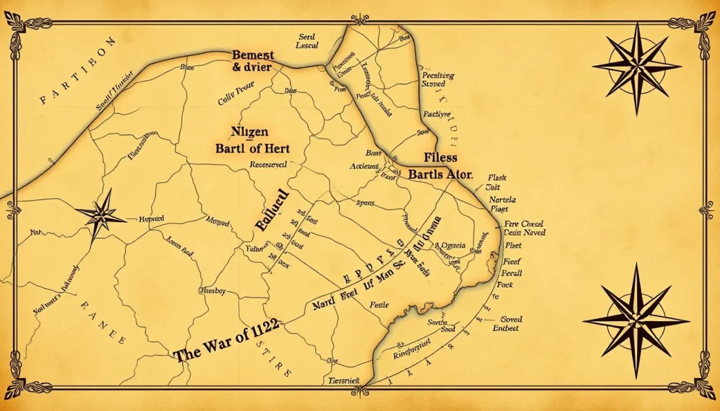
Military maps are among the most important visual primary sources for understanding the War of 1812 (1812–1815). Created before, during, and after the conflict, they preserve information about terrain, fortifications, troop movements, and battle plans, yet they are not neutral or objectively accurate. This article examines how military maps from the War of 1812 function as historical evidence, what they reveal, and the interpretive pitfalls historians must navigate when using them.
Historical Context
In the early nineteenth century, military cartography was an evolving practice. Formal military survey departments existed in European armies, but in North America both the British and the United States relied on a mix of commissioned surveys, private mapmakers, and ad hoc reconnaissance. Accurate mapping was hindered by vast, only partially surveyed territories, limited resources, and the lack of a unified cartographic standard. During the War of 1812, commanders on both sides often operated with maps that were incomplete, outdated, or simply wrong. The era’s maps were products of their time, reflecting political boundaries, strategic priorities, and the limitations of survey technology.
What Happened
Military maps produced during the War of 1812 fall into several categories: pre-war survey maps, campaign maps, battlefield plans, and post-battle published maps. Commanders used these to plan movements, identify defensible positions, and communicate orders. After engagements, officers and cartographers produced detailed plans for official reports, which were often published in newspapers or as part of parliamentary or congressional documents. Examples include maps of the Battle of Lake Erie, the Battle of Queenston Heights, and the Battle of New Orleans. These maps were drawn by engineers, surveyors, or officers, sometimes from personal observation and often from secondhand accounts. As a result, they vary widely in accuracy, perspective, and purpose.
Contemporary sources reveal that both American and British forces suffered from a “want of accurate maps.” For instance, during the 1813 Niagara campaign, commanders had to rely on local guides and rough sketches. The challenges were not unique to the War of 1812; as historian Kenton White notes in his study of Waterloo, “maps can be misleading rather than informative” when they are compared with other evidence. The Jacobite thesis by Cameron MacKay similarly distinguishes between manuscript maps made for military planning—which held high military value—and printed maps made for public consumption, which often served political or propagandistic ends.
Why It Matters
Military maps are essential primary sources for historians of the War of 1812. They provide visual evidence that complements written reports and officer correspondence. Maps can reveal how commanders conceptualized the battlefield, what terrain features they considered important, and how they intended to deploy forces. However, maps are also subjective documents. As Timpanaro and Pidermann argue in their study of Monmouth battle maps, period maps should not be treated as “historic versions of today’s satellite images”; they are “the perspective of the draftsman or commissioner of the map.” This perspective may include errors, deliberate distortions, or gaps that reflect the mapmaker’s knowledge and biases. Understanding why a map was made, who made it, and what information was available is crucial to using it as reliable historical evidence.
Definition
Military maps as historical evidence are any maps created for or used in connection with military operations that later serve as sources for understanding the conflict. They include reconnaissance sketches, campaign maps, battle plans, and post-war survey maps. Such maps are analyzed for their content—terrain, routes, positions—and for their context, including the mapmaker’s identity, purpose, and available information.
Background
The practice of military mapping in the early nineteenth century was shaped by eighteenth-century developments. The Enlightenment emphasized scientific surveying, and armies began to employ specialist engineers. During the Napoleonic Wars, European armies produced sophisticated maps, but in North America the infrastructure was sparser. British forces had access to Admiralty charts and some local surveys, but the vast interior was poorly mapped. American maps were often compiled from older surveys or borrowed from British sources. The war itself catalyzed mapmaking, as both sides scrambled to fill gaps in their knowledge.
How It Worked
In practice, military maps were made through a combination of ground surveys, reconnaissance, and compilation. Engineers and officers would sketch terrain during patrols or battles, then produce fair copies. For major engagements, maps might be drafted after the battle based on officers’ recollections and measurements. These maps were used for planning and for official reports. Printed maps reached the public through newspapers and books, often with added artistic flourishes. The process was slow and error-prone: distances were often inexact, and features like forests, swamps, or elevations were exaggerated or omitted according to tactical emphasis.
Competing Viewpoints
Historians debate the reliability of military maps. Some treat them as authoritative visual records, while others stress their biases. Scholars like Timpanaro and Pidermann encourage a contextual approach, examining the mapmaker’s perspective. Kenton White demonstrates that maps of Waterloo contain errors that have persisted in historiography. For the War of 1812, similar issues arise: a map of a battle can become the accepted version even if it conflicts with written accounts. The debate centers on whether maps are objective snapshots or constructed narratives, and how much weight to give them relative to other sources.
Role in the War of 1812
During the War of 1812, maps were crucial for planning along the Niagara frontier, the Great Lakes, and the Chesapeake. The lack of accurate maps contributed to operational failures. For example, in 1814, British forces landing on the Patuxent River used charts and local knowledge to advance on Washington, D.C., while American defenders misjudged routes and terrain. Maps from the war also served propaganda purposes: published battle plans often exaggerated victories or simplified complex events. Surviving maps—such as those in the National Archives of the United States and the British National Archives—document both military plans and post-war land claims.
Consequences and Historical Interpretation
Maps have had a lasting impact on how the War of 1812 is remembered. They influence battlefield preservation, historical interpretation, and commemorative practices. Because maps are visual, they can shape public understanding more powerfully than text. Historians now combine map analysis with archaeological survey and environmental data to challenge old assumptions. For instance, the precise location of some skirmishes has been revised using period maps and modern technology. Ultimately, military maps are indispensable historical evidence, but their interpretation requires critical judgment.
Primary Sources
Key primary sources include manuscript maps and printed battle plans generated during or immediately after the war. Examples include the map of the Battle of Lake Erie by William W. Dobbins, the British sketch of the Battle of Queenston Heights, and the American plan of the Battle of New Orleans by Arsène Lacarrière Latour. Many are held by the National Archives and Records Administration (U.S.), Library of Congress, the British Library, and Library and Archives Canada. These maps must be read alongside official reports, letters, and diaries to account for bias and inaccuracies.
Further Reading
- John R. Elting, Amateurs to Arms! A Military History of the War of 1812 (1991).
- Jeremy Black, Maps and History: Constructing Images of the Past (1997).
- Michael Timpanaro and Victor Pidermann, “The Want of Accurate Maps: On Using Period Maps in Research for the Battle of Monmouth Courthouse,” New Jersey Studies (2023).
- Kenton White, “On Maps and Manoeuvres: The Challenge of Mapping Waterloo,” British Journal for Military History (2016).
- Cameron MacKay, “Battle Maps of the ‘45: An Analysis,” MA thesis, University of Guelph (2026).
References
- Timpanaro, Michael, and Victor Pidermann. “The Want of Accurate Maps: On Using Period Maps in Research for the Battle of Monmouth Courthouse.” New Jersey Studies 9, no. 2 (2023). doi:10.14713/njs.v9i2.333.
- White, Kenton. “On Maps and Manoeuvres: The Challenge of Mapping Waterloo.” British Journal for Military History 2, no. 3 (2016): 62–77.
- MacKay, Cameron. “Battle Maps of the ‘45: An Analysis.” MA thesis, University of Guelph, 2026.
- Schneider, Ute. “Maps, Geography and the Representation of Space.” In 1914-1918-online: International Encyclopedia of the First World War. Freie Universität Berlin, 2019.
- Bruscino, Thomas, and Mitchell G. Klingenberg. “Making War Upon the Map.” Army History (Spring 2024).
FAQ
Why are military maps from the War of 1812 considered valuable historical evidence?
They provide visual information about terrain, troop positions, and command decisions that written reports may omit. They also reflect the strategic thinking of the era.
What are the limitations of using historical maps as evidence?
Maps can be inaccurate due to poor surveying, deliberate distortion, or the mapmaker's limited perspective. They often simplify complex events and must be cross-checked with other sources.
How do historians interpret a map's bias?
Historians examine the map's purpose, audience, and creator. They compare maps with official reports, letters, and other primary sources to identify discrepancies and understand what the mapmaker emphasized or omitted.



Leave a Reply